


 Art & Design
 Auto & Vehicles
 Beauty
 Business
 Education
 Entertainment
 Finance
 Food & Drink
 Health & Fitness
 House & Home
 Libraries & Demo
 Maps & Navigation
 Medical
 Music & Audio
 Parenting
 Personalization
 Photography
 Productivity
 Shopping
 Social
 Sports
 Tools
Tools Travel & Local
 Video Players
 Weather
 Family


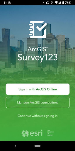
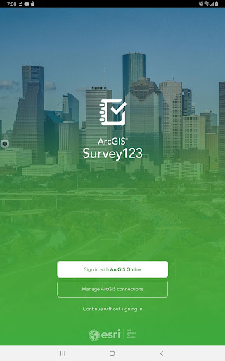
 ArcGIS Survey123
OS :
Version :3.15.156
Size :
Updated :Aug 23,2022
Developer :Esri
 Ask AI
You can ask
the AI some questions about the app
Here are three topics and questions related to the Survey123 app:
1. How do you plan to use the app's data collection and editing features for your projects?
2. What kind of mobile device do you currently use, and does it meet the app's system requirements?
3. Have you used any other Esri products or apps before, and how did you find their user experience and functionality?
 Ask AI
Pros and Cons from users' feedback
Based on the users' reviews of Survey123 on the Google Play store, here are three cons and three pros, each in 15 words or less:
**Cons:**
1. "Crashes frequently and becomes unresponsive, requiring frequent restarts."
2. "Lack of offline data editing capabilities is frustrating for fieldwork."
3. "Design and interface can be cluttered and confusing to navigate."
**Pros:**
1. "Easy to use and accessible, even for those without GIS experience."
2. "Accurate and reliable data collection, with useful reporting features."
3. "Integrates seamlessly with Esri's mapping and analysis tools."
Please note that these are general summaries based on user reviews and may not reflect your personal experience with the app.
App
Downloads
<
>


App
Survey
-
Do you think the payment of application features affects the experience?
-
How much time do you spend on app applications every day?
-
Application interactivity Does it affect the experience?
-
Where do you get the new APP
Description
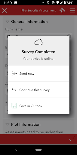
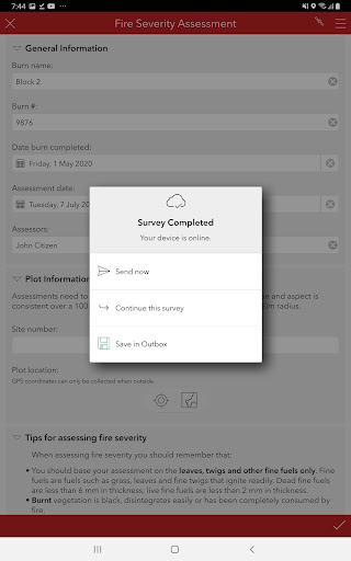
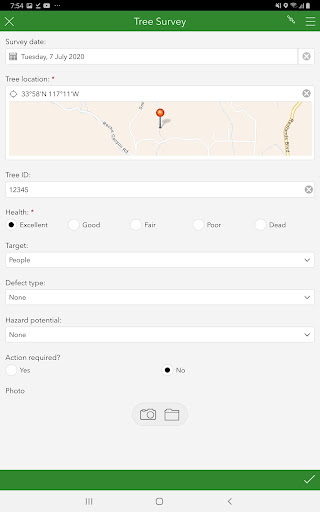
Use Survey123 to capture reliable data from familiar devices while either online or offline. With surveys published to ArcGIS Online or ArcGIS Enterprise, data is securely uploaded to ArcGIS for further analysis.
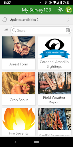
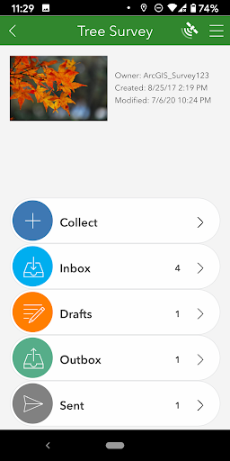
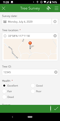
- Collect data with smart forms.
- Attach photos to your surveys.
- Work online or offline.
- Submit your work directly into ArcGIS.
- Use high-accuracy GNSS receivers.
- Collect data with smart forms.
- Attach photos to your surveys.
- Work online or offline.
- Submit your work directly into ArcGIS.
- Use high-accuracy GNSS receivers.
{{descriptionMoreText}}
Comments (0)
{{commentText.length}}/{{maxCommentText}}
{{commentError}}{{commentUserError}}
-
{{comment.commentUser.substring(0, 1)}}By {{comment.commentUser}}{{comment.commentDateString}}


Category Top
apps
- Google Play
- App Store
4
5
Lifestyle
 Daily Diary:Journal with Lock
 Life360: Find Family & Friends
 Pinterest
 T-Mobile Tuesdays
 Frecuencia
Photography
 Picsart AI Photo Editor, Video
 Amazon Photos
 Time Warp Scan - Face Scanner
 ToonApp: Cartoon Photo Editor
 Pixelup - AI Photo Enhancer


More Apps


